3 Field information and sampling locations
3.1 Sites sampled
3.1.1 2017 and 2018 campaigns
During the EHAS survey of summer 2017 and 2028 P. Sconzo and T. Rentschler collected and analysed 29 samples on 16 different sites. These sampling sites are matching with archaeologists sites from the EAHS survey. They were selected based on a legacy sampling strategy on different part of the slope of the archaeological sites.
3.1.2 2022 and 2023 campaigns
During the two sampling campaigns of 2022-2023, a total of 124 sites were collected via the use of a conditioned Latin hypercube sampling.
3.2 Regional information and collected data
The collected information is only for the 2022 and 2023 campaigns, as the EHAS survey in 2017 and 2018 had a different sampling protocol only sampling surface soil (0 - 10 cm).
3.2.1 Landscape observations
3.2.1.1 Zakho region
The sampling campaigns took place in three distinct areas. The first one in the north reaches from Zakho in the west toward Mangesh in the east. It has a semi-wet to dry climate with over 400 mm per year precipitations. This region is dominated by pebbly-sandstone (Mukdadiyah formation Al-Mousawi, Fouad, and Sissakian (2007)) and conglomerate formation and colluvial deposits on the surface. Vegetation with dominating oaks (quercus brantii) and olive trees. Wadis and a major affluent of the Tigris, the upper Khabur, flow from east to west.
3.2.1.2 Simele/Selevani Upper plain
On the south of the Be’khair mountain, from the foothills towards the main east-west road from Dohuk to Dayrabun in the south, the Upper Simele plain forms another geographical unit. Temperature is higher, and precipitation is below 400 mm per year. There is very little vegetation, and no trees except cultivated species along the rivers and wadis. Surface structures are dominated by glacis, pediments and pebble deposits and relics of conglomerates or sandstone and claystone formations (Injana formation Sissakian, Hagopian, and Hasan (1995)).
3.2.1.3 Simile/Selevani Lower plain
The last region is the southern, or Lower, Simile plain, from the Dohuk Dayrabun road to the Mosul dam lake in the south. Temperatures are high, and precipitation is below 400 mm per year, with no vegetation except along rivers and wadis. Surface structures are dominated by badlands, colluvial deposits, sandstone (Injana formation Sissakian, Hagopian, and Hasan (1995)), claystone formations (Fatha formation Sissakian, Hagopian, and Hasan (1995)), and some terraces.
3.2.2 Sampling method
The samples were collected with the help of an auger and separated in five-depth increment :
- 0 - 10 cm with the top ploughed soil
- 10 - 30 cm the top and sub-surface soil
- 30 - 50 cm the sub-surface soil
- 50 - 70 cm the sub-surface and lower soil
- 70 - 100 cm the lower soil
In many cases, the bedrock was reached before 100 cm. Therefore, five samples were not collected in every site location. Samplings were saved in a small plastic bag before being air-dried for 48h, followed by wet sieving at 2 mm.
3.2.3 Collected informations
At each location, several pieces of information were registered and can be found in the deposit in the field_observations file. The different entries are:
- Site_Name the site’s name according to the cLHS sampling
- Altitude A.S.L. the altitude above is the level in meters, measured with Garmin, GPSMAP 60Cx with max. 3 m accuracy (depending of satellite coverage)
- X (WGS 84 UTM 38) longitude in WGS84 UTM38N projection (epsg:32638), measured with Garmin, GPSMAP 60Cx with ± 10 - 3 m accuracy (depending of satellite coverage)
- Y (WGS 84 UTM 38) latitude in WGS84 UTM38N projection (epsg:32638), measured with Garmin, GPSMAP 60Cx with ± 10 - 3 m accuracy (depending of satellite coverage)
- Texture the texture of the different soil horizons
- Colors colors of the soils according to the Munsell soil-color charts 2009 edition
- Number_horizon short description of the different horizons.
- Description short description of the entire pedon.
- Interpretation is a short interpretation of the entire pedon.
- Relief is a short description of the relief surrounding the site.
- Soil_depth depth of the soil before bedrock in cm.
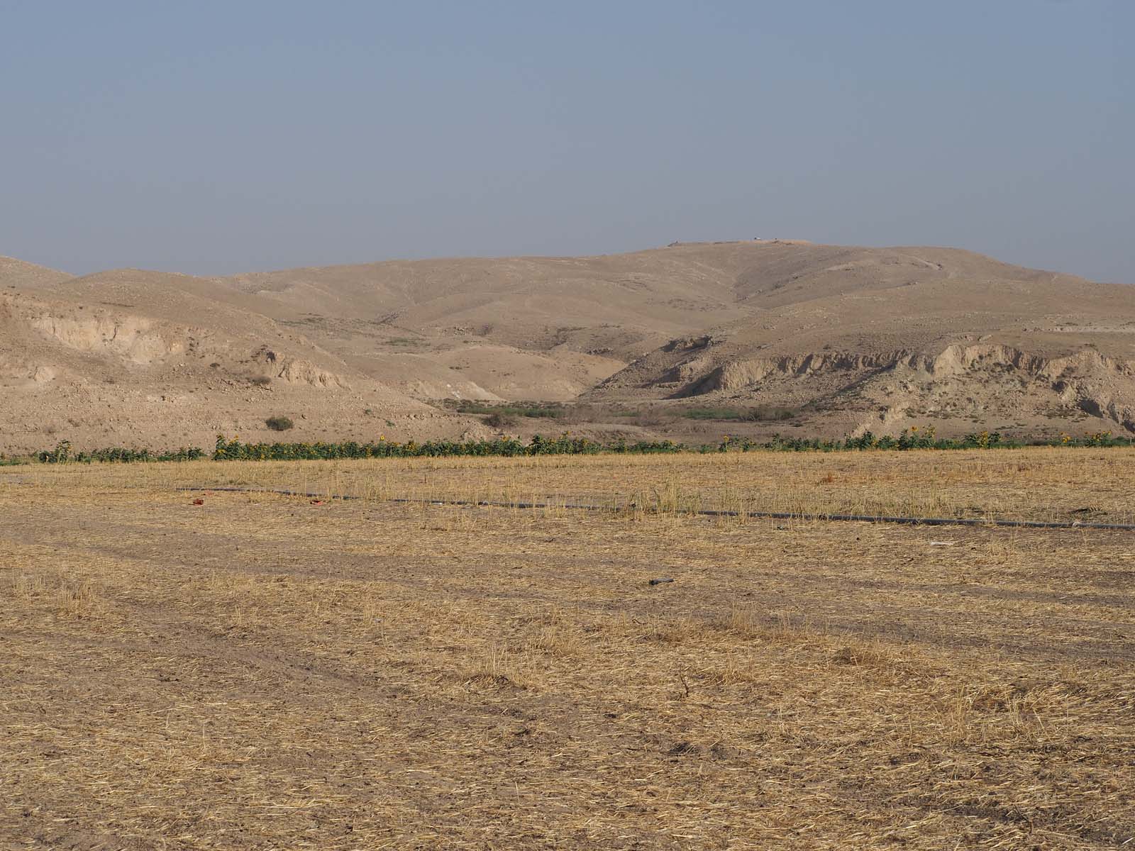
Additionally, photos were taken at each location and they are accessible on the deposit.
\[\\[0.5cm]\]